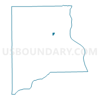
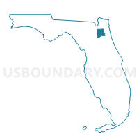
600B-Voting District, Clay County, Florida
About
Outline

Summary
| Unique Area Identifier | 552464 |
| Name | 600B-Voting District |
| County | Clay County |
| State | Florida |
| Area (square miles) | 0.40 |
| Land Area (square miles) | 0.40 |
| Water Area (square miles) | 0.00 |
| % of Land Area | 100.00 |
| % of Water Area | 0.00 |
| Latitude of the Internal Point | 30.04109340 |
| Longtitude of the Internal Point | -81.79257060 |
Maps

Graphs
Select a template below for downloading or customizing gragh for 600B-Voting District, Clay County, Florida